Vietnam has taken a major leap in environmental technology by becoming the first country in the region to simultaneously apply artificial intelligence, remote sensing and cloud computing to monitor seawater quality. In a landmark joint research initiative with Polish scientists, Vietnamese researchers are leveraging these advanced tools to transform marine environmental management, especially in ecologically sensitive and economically vital coastal zones.
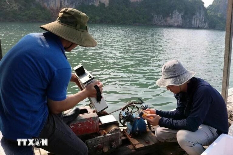
Image credits Vietnam Plus
The project, spearheaded by Dr Vu Anh Tuan, Deputy Director General of the Vietnam Space Centre under the Vietnam Academy of Science and Technology, marks the first time that Vietnam has integrated Sentinel-2 satellite imagery, advanced machine learning algorithms and the Google Earth Engine (GEE) cloud computing platform to track and model key seawater quality indicators. This multi-disciplinary, technology-driven approach is helping the nation address critical marine challenges more efficiently and effectively.
For the initial phase, the research team focused on Ha Long Bay and the Cua Luc region in Quang Ninh province, areas that have faced growing environmental pressure due to rapid urbanisation, tourism and industrial expansion. These changes have contributed to seawater degradation, threatening local marine biodiversity and long-term ecological balance.
Traditional methods of monitoring water quality, such as in-situ sampling and laboratory analysis, are often time-consuming, expensive and limited in spatial coverage. Recognising these limitations, the team sought a new model, one that could offer continuous, large-scale surveillance at a fraction of the cost and effort.
The result is a robust, AI-powered system that enables predictive monitoring of marine environments. Using satellite data, the researchers developed spatial-temporal models that generate maps of water quality indicators such as turbidity, chlorophyll concentration and suspended particulate matter. These maps allow for early detection of pollution sources, trend analysis over the years and more precise identification of at-risk zones.
What sets this project apart is its combination of technologies to solve the pressing issue of marine water quality. The machine learning models developed by the team were trained and validated to achieve over 73% accuracy, an impressive benchmark for environmental modelling. Seasonal and annual maps were produced to reflect the dynamic nature of seawater conditions, offering policymakers and planners datasets to guide their decisions.
The research also overcame key challenges such as data scarcity and variability in satellite readings. By using cloud-based platforms like GEE, the team was able to process large volumes of data efficiently while enabling collaborative analysis across institutions. This scalable framework offers great potential for replication and adaptation in other regions with similar constraints.
Encouraged by success in Ha Long Bay and Cua Luc, the research team now aims for nationwide application. While coastal zones vary in physical and ecological traits, the core methodology is versatile and can be adapted to local conditions. Broader implementation would offer real-time, region-specific data for monitoring, early warnings, aquaculture and sustainable development.
The long-term vision is to build a national seawater monitoring system that operates continuously and provides actionable insights to government, industry and communities. This would boost Vietnam’s environmental resilience, support sustainable development and protect coastal ecosystems for future generations.
Associate Professor Dr Pham Quang Vinh, a member of the evaluation council under the Vietnam Academy of Science and Technology, hailed the project as a model for combining AI and remote sensing to address environmental challenges. He also emphasised the significance of international collaboration, noting that the research findings were co-authored by Vietnamese and Polish scientists and published in a high-ranking SCIE Q1 international journal.
The study not only reflects technological innovation but also showcases Vietnam’s growing capacity to lead in scientific research and sustainable development. It highlights the critical role of partnerships, digital tools and data-driven decision-making in addressing complex environmental issues at scale.
Source: https://opengovasia.com/2025/06/20/vietnam-ai-and-satellite-technologies-for-marine-protection/


